
 Cart
CartLocation Search results for "Charleston" in South Carolina
Map Matches for "Charleston" (17) in South Carolina
Click on a column header to sort results table.


Atlas Matches for "Charleston" (9) in South Carolina
Click on a column header to sort results table.
| Name | Publisher | Date | ||
|---|---|---|---|---|
 |
Charleston 1780 Siege Map |  |
Collonel Mount-Crieff | 1780 |
 |
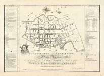
Charleston 1788 Ichnography Map | |
Pheonix Fire-Company of London | 1788 |
 |
Charleston 1850 to 1899 Bird's Eye View - 77x104 |  |
Charles Magnus | Unattributed |
 |
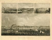
Charleston 1872 Bird's Eye View | |
C. Drie | 1872 |
 |
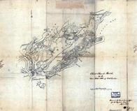
Charleston Harbor 1861 Plan and Fortifications |   |
Elliot & Ames, A. Williams & Co. | 1861 |
 |
Charleston Harbor Chart 1865 South Carolina |  |
E. Willenb?cher | 1865 |
 |
Charleston Harbor Chart 1866 South Carolina | |
A. D. Bache | 1866 |
 |
Charleston Harbor Chart 186x South Carolina | |
W. A. Williams | 186x |
 |
Charleston Harbor Chart 1878 South Carolina | |
U. S. Engineers Office | 1878 |
You may find "Charleston" in these South Carolina atlases:
Click on a column header to sort results table.
| Atlas | Publisher | Date | ||
|---|---|---|---|---|
 |
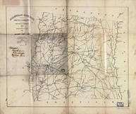
Abbeville County 1894 Wall Map |  |
Bullock, William P. | 1894 |
 |
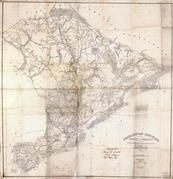
South Carolina State Atlas 1825 Surveyed 1817 to 1821 aka Mills's Atlas |  |
Robert Mills | 1825 |
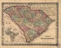 |
South Carolina 1865 State Map |  |
Colton, J.H. | 1865 |