Location Search results for "Old Trap" in North Carolina
You may find "Old Trap" in these North Carolina atlases:
Click on a column header to sort results table.
|
Atlas |
|
Publisher |
Date |
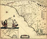 |
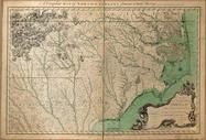
North Carolina and South Carolina 1682 State Map |
 |
Gascoyne, Joel |
1682 |
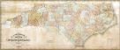 |
North Carolina 1833 State Map |
|
Brazier, Robert H. B. |
1833 |
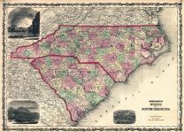 |
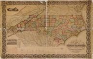
North Carolina and South Carolina 1861 State Map |
|
Johnson and Browning |
1861 |
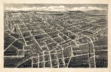 |
Statesville 1907 Bird's Eye View |
 |
A. E. Downs |
1907 |
 |
Statesville 1995 |
  |
City Directory, Inc. |
1995 |
 |
Statesville 1996 |
|
City Directory, Inc. |
1996 |
 |
Statesville 1997 |
|
City Directory, Inc. |
1997 |
 |
Statesville 1999 |
|
City Directory, Inc. |
1999 |
 |
Statesville 2000 |
|
City Directory, Inc. |
2000 |
 |
Statesville 2001 |
|
City Directory, Inc. |
2001 |
 |
Statesville 2003 |
|
City Directory, Inc. |
2003 |
 |
Statesville 2004 |
|
City Directory, Inc. |
2004 |
 |
North Carolina State Map 1770 with Landowner Names |
 |
Collet, John |
1770 |
 |
North Carolina 1857 State Map |
|
Colton, J.H. |
1857 |
Sorry, we couldn't find any maps of "Old Trap". However, many cities and towns are incorporated into county atlases.
Click the button below to browse all of our North Carolina atlases.
North Carolina Atlases

 Cart
Cart