
 Cart
CartAddress Search
Results for "Latitude 41.754646, Longitude -73.157259"
View these maps overlayed on top of a modern map. You must be a member and logged in to use this feature.
Purchase a series of maps or images documenting the environmental or land use history of this location.
 A variety of printed products can be purchased by clicking on each individual map in the results below.
Click on any of the maps below to view a large, zoomable map.
 |
Litchfield, Bantam Falls Town, Northfield Town Litchfield County 1874 show address on this map |
F. W. Beers & Co. | 1874 |
 |
Plate 029 Hartford - New Haven - Middlesex - Litchfield - Tolland Counties 1931 show address on this map |
Dolph & Stewart | 1931 |
 |
Pennsylvania, New Jersey, New York, Delaware 1749 - APSdigobj3524 Pennsylvania, New Jersey, New York, Delaware 1749 show address on this map |
Evans, Lewis, 1700?-1756 | 1749 |
 |
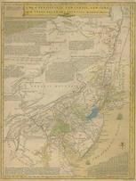
New York Province 1779 Land Tracts new New York Province 1779 Land Tracts show address on this map |
Claude Joseph Sauthier | 1779 |
 |
Massachusetts 1802 MHS Digital Image 2113 Massachusetts 1802 MHS Digital Image 2113 show address on this map |
Osgood Carleton | 1802 |
 |
Pennsylvania 1807 including neighboring states - APSdigobj3463 Pennsylvania 1807 including neighboring states show address on this map |
Pursh, Frederick, 1774-1820 | 1807 |
 |
Massachusetts and Rhode Island 1850 MHS Digital Image 5155 Massachusetts and Rhode Island 1850 MHS Digital Image 5155 show address on this map |
Unattributed | 1850 |
 |
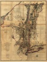
Litchfield County 1859 Wall Map 44x50 Litchfield County 1859 Wall Map show address on this map |
Hopkins, G. M. | 1859 |
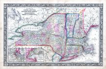 |
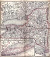
New York, New Hampshire, Vermont 1864 Mitchell Plate New York, New Hampshire, Vermont 1864 Mitchell Plate show address on this map |
S. Augustus Mitchell | 1864 |
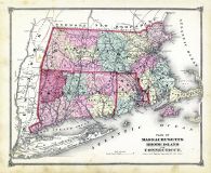 |
State Map - Connecticut Massachusetts Rhode Island Litchfield County 1874 show address on this map |
F. W. Beers & Co. | 1874 |
 |
New York, Connecticut Wells County 1881 show address on this map |
H.H. Hardesty | 1881 |
 |
St. Croix and Hudson Rivers and Lake Ontario Chart 1882 New England St. Croix and Hudson River and Lake Ontario Chart 1882 New England show address on this map |
U. S. Coastal Survey | 1882 |
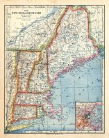 |
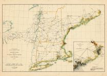
New England 1883 New England 1883 show address on this map |
Van Antwerp Bragg and Co. | 1883 |
 |
United States Map Winnebago County and Boone County 1886 show address on this map |
H. R. Page & Co. | 1886 |
 |
Land Survey of the United States Cass County 1893 show address on this map |
D.W. Ensign & Co. | 1893 |
 |
The World Map with Principal Cities of the Old World Fillmore County 1896 show address on this map |
Geo. A. Ogle & Co. | 1896 |
 |
United States Map Genesee County 1899 show address on this map |
Homer A. Day | 1899 |
 |
World Map Rooks County 1904 to 1905 show address on this map |
Geo. A. Ogle & Co. | 1904 |
 |
United States Map Waushara County 1906c show address on this map |
C.A. McIntyre and C.H. Terril | 1906c |
 |
World Map Guthrie County 1917c show address on this map |
Kenyon Company | 1917c |
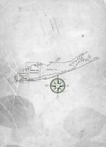 |
Queens County, Nassau County - Map Pages Index Queens and Nassau Counties 1946 Long Island show address on this map |
Hagstrom Company | 1946 |