Kansas Historical Maps and Atlases
The state of Kansas collection contains 992 atlases spanning 148 years of growth and development (1859 through 2007).
Within the atlases are 58,351 historical maps, illustrations, and histories many of which contain family names ideal for genealogical research. Others are rare antique maps, part of the collection by an exclusive arrangement with the Osher Map Library. The state of Kansas has 15 of these antiquarian maps dating back as early as 1859.
|
Displaying 1- 50 of 992 in total
|
Next >> |
Click on a column header to sort table.
|
Name |
Attributes |
Quality |
Publisher |
State |
Date |
|
Name |
Atlas |
Attributes |
Publisher |
Date |
Collection |
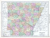 |
Arkansas |
World Atlas 1913 |
 |
Rand McNally and Com... |
1913 |
HMW |
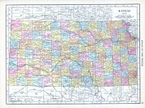 |
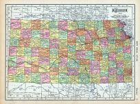
Kansas |
World Atlas 1913 |
|
Rand McNally and Com... |
1913 |
HMW |
 |
Kansas |
United States 1885 Atlas of Ce... |
|
H. R. Page & Co. |
1885 |
HMW |
 |
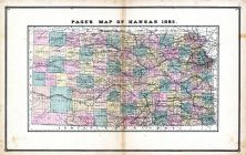
Kansas - Guide 1 |
United States 1885 Atlas of Ce... |
|
H. R. Page & Co. |
1885 |
HMW |
 |
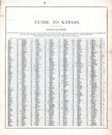
Kansas - Guide 2 |
United States 1885 Atlas of Ce... |
|
H. R. Page & Co. |
1885 |
HMW |
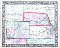 |
Kansas, Nebraska, Colorado and... |
World Atlas 1864 Mitchells New... |
|
S. Augustus Mitchell |
1864 |
HMW |
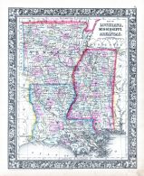 |
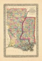
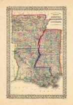
Louisiana, Mississippi and Ark... |
World Atlas 1864 Mitchells New... |
|
S. Augustus Mitchell |
1864 |
HMW |
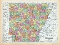 |
Page 087 - Arkansas |
World Atlas 1911c from Minneso... |
|
Rand, McNally and Co... |
1911 |
HMW |
 |
Page 091 - Kansas |
World Atlas 1911c from Minneso... |
|
Rand, McNally and Co... |
1911 |
HMW |
 |
Map - Page 1 |
County map of the state of Ark... |
|
S. Augustus Mitchell... |
1867 |
OML |
|
 |
Map - Page 1 |
County Map of the states of Ar... |
|
S. Augustus Mitchell... |
1867 |
OML |
|
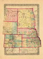 |
Map - Page 1 |
County map of Dakota, Wyoming,... |
|
S. Augustus Mitchell... |
1870 |
OML |
|
 |
Map - Page 4 - ATLAS/TO ACCOMP... |
ATLAS/TO ACCOMPANY THE OFFICIA... |
|
DAVIS, MAJOR GEORGE ... |
1891 |
OML |
|
 |
Map - Page 6 - ATLAS/TO ACCOMP... |
ATLAS/TO ACCOMPANY THE OFFICIA... |
|
DAVIS, MAJOR GEORGE ... |
1891 |
OML |
|
 |
Map - Page 6 - ATLAS/TO ACCOMP... |
ATLAS/TO ACCOMPANY THE OFFICIA... |
|
DAVIS, MAJOR GEORGE ... |
1891 |
OML |
|
|
Displaying 1- 50 of 992 in total
|
Next >> |

 Cart
Cart